
GIS Field Survey
Map-based point-of-interest collection, validation, and survey operations.
A launched GIS-enabled field survey and census data collection platform for POI mapping, questionnaire workflows, field verification, geospatial review, data-quality controls, and centralized survey operations across mobile and web tools.
GIS operations proofLaunchedCurrent status GISPlatform focus SanitizedEvidence posture
Point of Interest census and survey platform
Mobile field collection, GIS survey tools, POI management, questionnaire workflows, location verification, geospatial visualization, field-team management, dashboards, data quality, administration, roles, and monitoring
Field survey flow
How the product is organized for the people using it.
Questionnaire designer
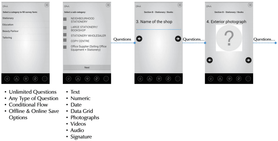
The platform supports robust survey controls including branching, skipping, looping, validation, calculation questions, multiple data types, and multiple question formats.
Mobile field collection
Field users can collect structured survey data with GPS, signatures, QR codes, barcodes, photos, videos, audio, and offline or online storage support.
Web GIS operations console
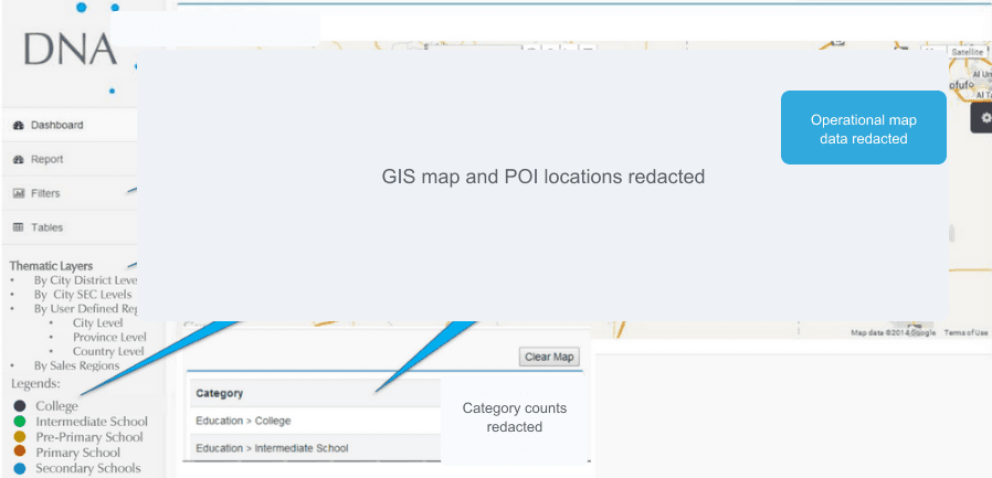
Operations users can review geospatial survey context, thematic layers, dashboards, tables, monitoring views, and map-based workflows with sensitive map data redacted in public evidence.
Auditor and quality review
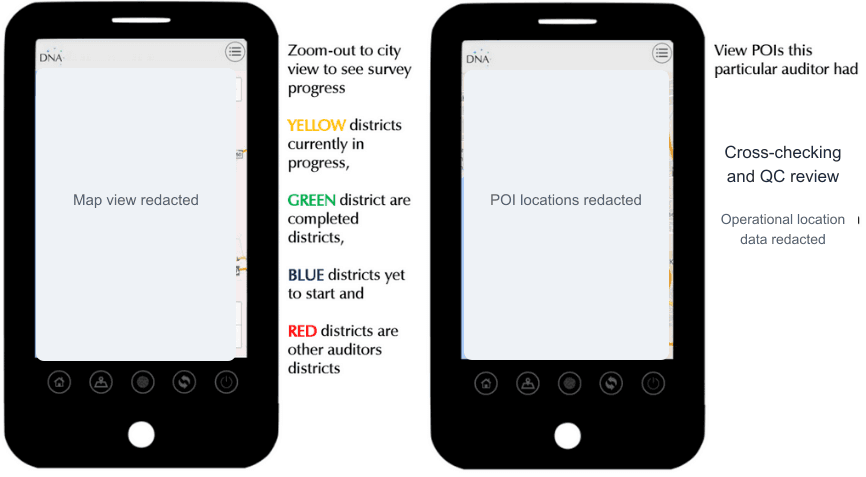
Survey and auditor console capabilities support cross-checking, validation, invalidation, and data-quality review workflows for field-collected information.
Public-safe GIS posture
The public case study avoids census accuracy, government endorsement, data completeness, geographic coverage, survey accuracy guarantees, market-share, intelligence, performance-percentage, and comparative superiority claims.
Evidence media
Sanitized visuals from the Point of Interest Census Survey Platform materials.
Survey operation outcomes
Centralized field survey operations
The platform centralized mobile field data collection, POI mapping, questionnaire workflows, GIS review, auditor validation, dashboards, and monitoring capabilities in a unified survey operations environment.
Geospatial data guardrails
- Approved Point of Interest Census Survey Platform project brief
- Sanitized GIS screenshots and approved questionnaire designer screenshot used for public evidence
- Qualitative outcomes only
- No POI counts, outlet counts, survey totals, enumeration figures, geographic coverage statistics, category totals, census accuracy, data completeness, survey accuracy, government endorsement, market intelligence, performance-percentage, or comparative superiority claims published
- Client datasets, survey responses, POI databases, coordinates, GIS layers, data-quality algorithms, validation methods, census methods, user information, infrastructure, databases, authentication, analytics, reporting methods, operations procedures, and government or client-specific datasets omitted
- Public claims limited to approved project scope and supplied materials
IT Management Solutions

Al-Rahim Group Digital Transformation
A unified digital platform for Al-Rahim Group, connecting freight, aviation, export, recruitment, visa, and shipper-agent collaboration services under one brand experience.
Transportation, Logistics, Aviation & Trade / Web Portals & CollaborationIT Management Solutions
One Window OEP Job Portal, Recruitment and Visa Processing
A launched overseas employment platform for job seekers, employers, recruiters, administrators, OEP staff, and visa/compliance teams.
Overseas Employment / Recruitment / Web Portals & CollaborationIT Management Solutions
Alpine Club Of Pakistan
A centralized digital portal and management platform supporting mountaineering, trekking, expedition coordination, memberships, tourism activities, administration, and organizational workflows.
Mountaineering & Adventure Tourism / Web Portals & Collaboration